Every road measured before you ride it.
Route guides for riders coming to Türkiye. Distances, climbs and fuel stops are calculated from open map data, not guessed.
Open the latest route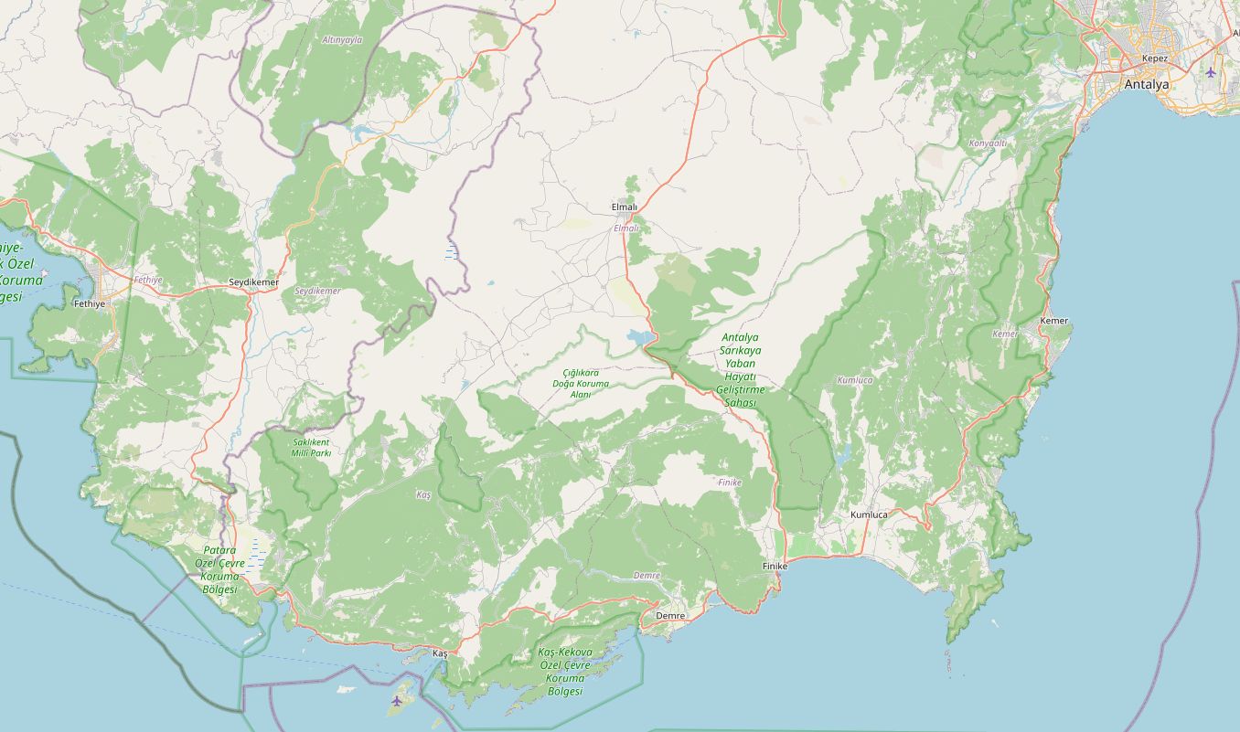 © OpenStreetMap
D400 Lycian Coast: Fethiye to Antalya
Regions
Seven geographic regions, each with its own set of routes.
Mediterranean
The Lycian coast, citrus plains and the passes of the Taurus Mountains.
1 route liveAegean
Olive-grove backroads and the coast from Çeşme down to Bodrum.
Routes in preparationBlack Sea
The D010 coast road and the high summer pastures, the yaylas.
Routes in preparationCentral Anatolia
Cappadocia's valleys and the wide plains around the Salt Lake.
Routes in preparationMarmara
Ways in and out of Istanbul, Gallipoli and Uludağ above Bursa.
Routes in preparationEastern Anatolia
Lake Van, Kars and passes above 2,000 metres.
Routes in preparationSoutheastern Anatolia
Mardin, Şanlıurfa and the edge of the Mesopotamian plain.
Routes in preparationHow a route is measured
The road is traced
Each route is drawn end to end on the OpenStreetMap road network. Distance and riding time come from that line.
Elevation is sampled
A height reading is taken every 1.5 km from SRTM satellite data. Total climbing and the highest point come from these readings.
Fuel is checked
Every station within 400 m of the road is matched to its kilometre. LPG-only stations are removed, since they are no use on a motorcycle.
Before you cross the border
Paperwork, insurance and road rules for riding into Türkiye on your own bike.